Humberside Geologist No. 14
|
The geology of the coast of East Yorkshire.
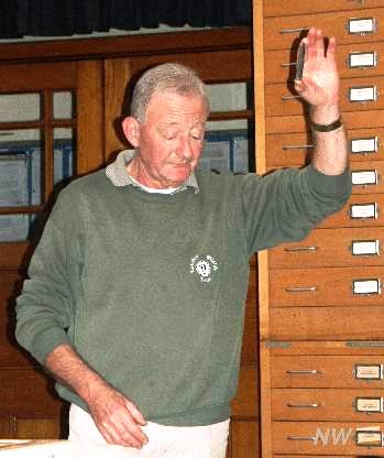
A report of a joint meeting of the Hertfordshire and Hull Geological Societies held in September 2003. Led by Dr Ada Pringle, Dr Felix Whitham, Jack Doyle, Prof John Catt and Mike Horne. Friday evening. The weekend field meeting started with introductory lectures in the Department of Geography at the University of Hull. Mike Horne welcomed members of the Hertfordshire Geological Society to the area and introduced the leaders. He then gave a brief introduction to the rocks that would be seen in the field (grey Speeton Clay, white Chalk and brown tills and other Quaternary deposits) followed by a slide show. Jack Doyle gave further details of the Speeton Clay succession and his recent research into the ammonites of the D7 beds and showed some typical Speeton Clay fossils that he had brought to the meeting. Felix Whitham described the detailed stratigraphy of the Flamborough Formation of the Chalk. John Catt described the sequence of Tills in Holderness - Wolstonian Basement Till overlain by Devensian Skipsea and Withernsea Tills. Ada Pringle spoke about the different environments on Spurn and the history of the attempts to stabilise the area between 1850 and 1960.
Dr Felix Whitham
Jack Doyle
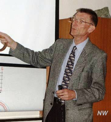
Prof John Catt
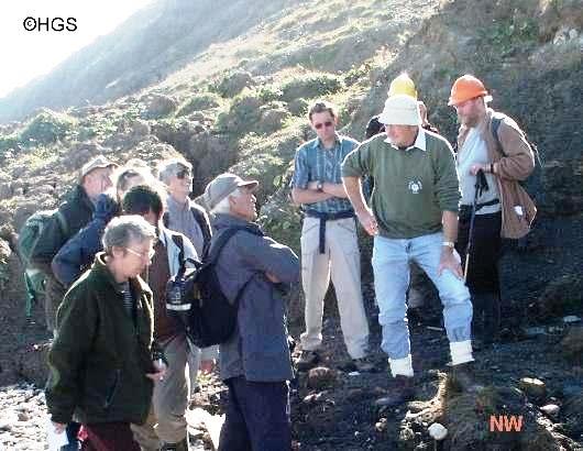
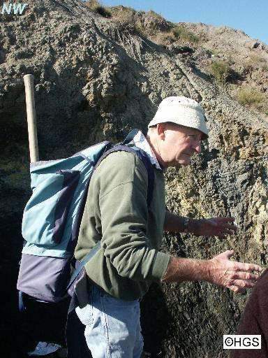
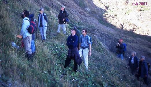
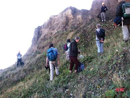
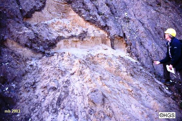
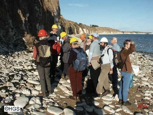
Dr Ada Pringle Saturday. The morning was spent at Speeton. Mike Horne pointed out a beach exposure of the Kimmeridge Clay near the base of the road down on to the beach, which is mostly broken up. There were a series of black shales containing crushed ammonite fossils and some cementstone. Mike suggested that as the Kimmeridge Clay in the Humber region had now been named as part of the Ancholme Clay Formation the name given to the clays at Speeton should be reconsidered. John Catt demonstrated the difference between the Skipsea and Withernsea Till in the cliff near the beach exposure. He said that the Withernsea Till was a redder brown than the Skipsea Till and that neither Till contained Chalk erratics north of Flamborough. The party walked further along the beach towards Bempton and Jack Doyle pointed out an exposure of Speeton Clay beds D6 and D7, in which he said were bentonite horizons that weathered to a yellow colouration. Beneath the Speeton Shell Bed cliff exposure was an exposure of Kimmeridge Clay containing characteristic 'turtle-stones' (septarian nodules). We climbed up to look more closely at the Speeton Shell Bed. The bed is an estuarine sandy silt containing bivalve shells and has a chalky gravel below and above it. John Catt told us about the dating of the shell bed which had been ascribed to Oxygen Isotope stages 5 or 7. He explained that if it is from stage 7, then the overlying Basement Till can be dated as stage 6 and thus the raised beach deposit at Sewerby, which rests on Basement Till, can be dated to stage 5 (Ipswichian). The group then returned to the beach and walked on to the New Closes Cliff and Middle Cliff. At New Closes Cliff Jack Doyle pointed out some of the marker beds that are useful for understanding the stratigraphy of the D Beds. And at Middle Cliff he pointed out the 'Sulfur Bed' (part of C7E), a useful marker horizon. The group had a brief opportunity to collect Hibolites belemnites and Aegocrioceratid ammonites from large fallen masses of the C7 beds that were on the beach at the far end of Middle Cliff.
Kimmeridge Clay beach exposure at Speeton
Jack Doyle at Speeton
(Nigel taking a picture of Mike!)
(Mike taking a picture of Nigel!) Speeton Shell Bed
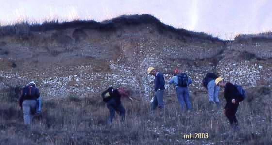
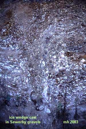
After lunch at Flamborough village the party reassembled at Dane's Dyke where we were joined by Felix Whitham who led us to the beach to examine the Chalk cliffs. The party was able to view and collect plates of the zonal fossil Marsupites testudinarius, and by walking a few hundred metres towards Bridlington see the influx of Inoceramus lingua marking the base of the next zone. The group then travelled to Sewerby by car and met up at the base of Sewerby Steps. Mike Horne pointed out a large erratic of Shap Granite on the beach near the steps. He also told the party about specimens of the zonal ammonite Discoscaphites binodosus that had been seen on the wave cut platform the previous year which proved that the base of the zone was several metres lower than had been previously recorded. At Sewerby buried cliff John Catt gave a talk about the history of the excavations of the section by Lamplugh and the significance of the site. In recent years the beds above the raised beach deposit have been covered by slips, but John had dug out sections in the blown sands and chalky gravels for people to examine more closely. Further on towards Bridlington he pointed out a large ice wedge cast near the top of the cliff that was evidence of a continuing cold climate after the deposition of the Till and Sewerby Gravels. Several of the party climbed the cliff to get a better look at the ice wedge.
Sewerby Buried Cliff
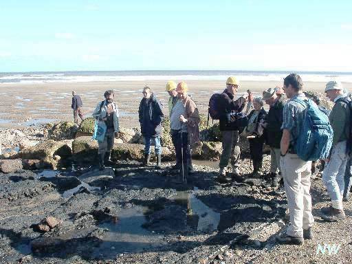
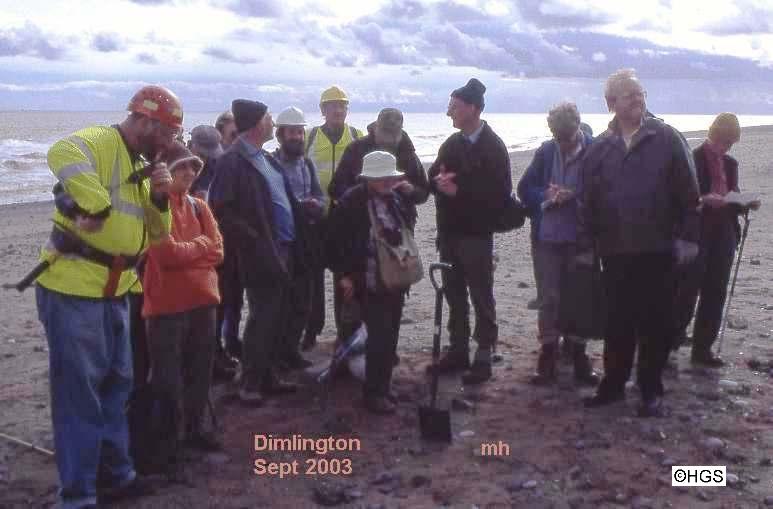
Ice Wedge Cast in the Sewerby Gravels. Sunday. At Dimlington, just north of the Easington Gas Terminals, we were able to study the type section of the Dimlington Stadial, the youngest part of the Devensian. John Catt told us about the Skipsea and Withernsea Tills in this area and their origins. The Withernsea Till, which is absent in the northern part of Holderness, contains more erratics of Carboniferous and Lias shales, red Permo-Trias and Shap Granite, Brockram and Borrowdale Volcanics from north-west England. The Skipsea Till contains fewer erratics from north-west England and more Carboniferous Limestone and Whin Sill from north-east England. Unfortunately recent cliff falls had obscured the Dimlington Silts which had been dated by using moss and beetle remains to 21-22 000 (calibrated) years BP. As the tide went out (after allowing us time to listen to the Archers Omnibus on the radio), we were able to examine a beach exposure of the Basement Till. The patches of Bridlington Crag that were visible a few years ago were not seen, but examples of the bivalve Macoma baltica were seen in the Basement Till. There were plenty of erratics to collect but very few fossils among them apart from Carboniferous corals and crinoids.
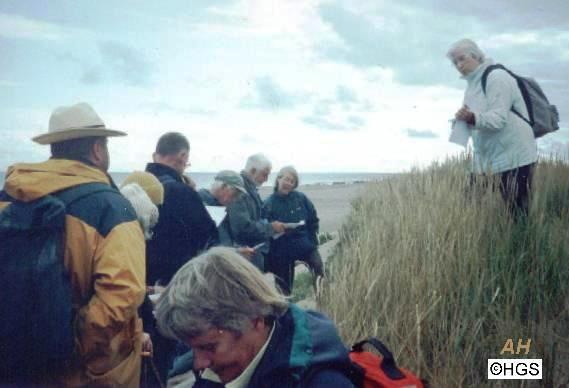
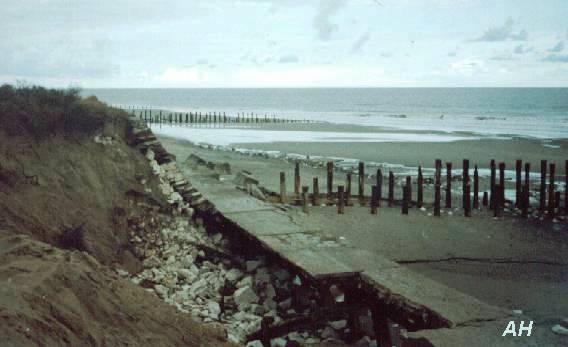
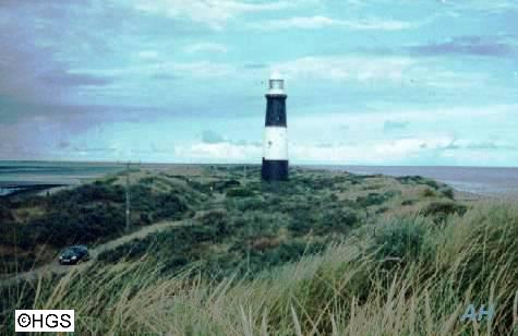
Easington/Dimlington - John Catt describes the cliff sections. After lunch at Kilnsea we travelled to Spurn where Ada Pringle told us about the history, erosion and landforms of Spurn Point. We made three stops along Spurn. The first was near the wardens hut and here Ada told us that there were 30 metres of sand dunes on the seaward side when she started her research in 1960, but these had been eroded back to the road by 1978. On the western side there is a shingle ridge with the 'Kilnsea Clays' beyond. Our second stop was about half way along Spurn, at a narrow point, where the sea had recently breached the concrete defences and as a result the road had been moved to the west because of subsidence a few weeks before our visit. Our last stop was at the car park at the end of the road. We walked up on to a dune near the lighthouse and Ada pointed out the main features and told us about sediment transport and currents around the Point and the Binks.
Dr Ada Pringle at Spurn
Concrete sea defences at Spurn, breached in spring 2003.
Spurn Lighthouse.
Pictures by Anne Horne, Mike Horne and Nigel Whittington. copyright Hull Geological Society 2005 copyright Hull Geological Society 2020
|